I took over 500 pictures while I was stomping around the desert last week, so here are a few more of my favorites. Enjoy! (Click the pictures for bigger versions.)
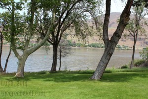
Here’s another shot of the Columbia from Celilo Park. (Not pictured: gulls, crows, and tourists.)
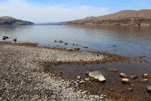
Down the Columbia toward the Dalles. Really lovely area and a great view.
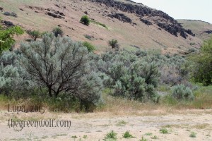
I really love sagebrush country. I took sooooo many pictures of sagebrush. Here’s some of it along the Deschutes River near the Columbia.
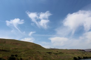
The sky was pretty remarkable, too. These were the vanguard of a storm system that would move in overnight.
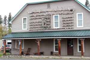
The appropriately named Antler Inn in lovely Ukiah, OR (population 230).
I love collecting locations of 45th Parallel signs. This one is the furthest east I’ve found, along highway 395 south of Pendleton.
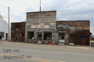
Fox, OR is a near-ghost town in the middle of nowhere. There are still a few people living there, but most of the buildings are shuttered like this one.
The gravesite of Eveline Cozad, who passed away in 1884. Definitely one of the most unique monuments in the Canyon City cemetery.
A wonderful little antique shop in the historic streets of Canyon City. Go chat with the owner, Jim, and check out the lovely old knickknacks and bits of history.
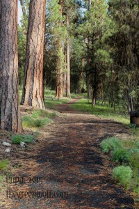
The Swick Old Growth Interpretive Trail is an oasis within the logged and farmed areas in and around the Malheur National Forest. It’s a nice loop, less than a mile, that goes through old Ponderosa pine forest, complete with a section that’s been subjected to 100 years of fire suppression, and one that’s been treated with controlled fires to help “catch up” and cut down on unnaturally thick undergrowth.
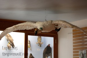
The Malheur National Wildlife Refuge has a small museum stuffed full of bird taxidermy, including this enormous trumpeter swan.
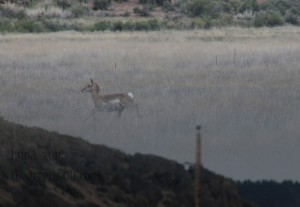
Here’s one of the pronghorn does I saw down near Steens Mountain. They’re one of my favorite critters, the last of their kind.
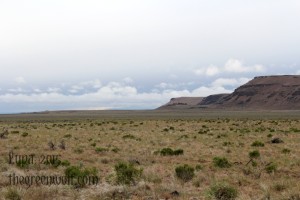
While the east side of 205 was wildlife refuge with sage and other such things, the west was mostly pastureland that had been heavily grazed for decades.
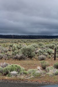
Tuesday was the stormiest day of my trip; while my time at Malheur National Wildlife Refuge was sunny, the further south I went the more I ran into skies like these, and rain shortly thereafter. it was amazing watching the storm systems rolling over miles and miles of open land.
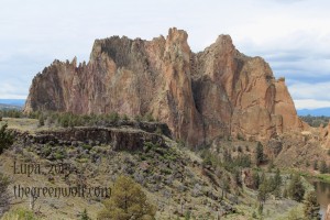
Smith Rock State Park is a geological adventure. The huge cliffs towering overhead are volcanic tuff (now heavily eroded) from explosive eruptions 30 million years ago. That ridge of darker rock on the left, though–that’s a basalt flow from almost 17 million years ago, known as the Steens Basalt. HUGE floods of molten lava traveled from far to the east, and bumped up against the already eroded tuff, then cooled into the basalt you see today.
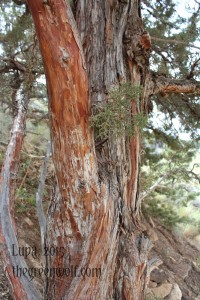
Juniper trees are all over the Oregon desert. Unfortunately, due to fire suppression they’ve expanded far beyond their historical range, choking up sagebrush plains and soaking up much-needed water.
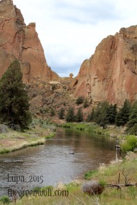
Asterisk Pass is one of my favorite formations at Smith Rock. Bet you can’t guess how it got its name.
You could do a rock scramble over Asterisk Pass (ropes are strongly recommended) but then you might miss beautiful views of the Crooked River, like this one.
Again, all in all this was one of the best excursions I’ve made in a very long time, and I’m already eager to get back out into the wilderness. Alas, I need to do some work here at home; art needs to be made, writing needs to be written, etc. But I’ll remember my paramour, the Oregon desert, and go back for a visit as soon as I can.

