Time-Sensitive Note: The Tarot of Bones IndieGoGo ends in a week! If you haven’t yet backed it, you still have time to claim some awesome perks 🙂
Monday morning broke open with a haze of clouds and regret that I hadn’t brought my white noise machine with me. The hotel I was in was nice enough, but the neighbors were somewhat loud and someone decided to fall asleep with the TV on. I managed well enough with a white noise video on YouTube, but I miss my little cocoon of familiar static. Still, I got enough sleep to get up and going in the morning (with a quick trip by the continental breakfast).
My initial plan had been to head over to Boise and then come home by way of John Day. However, I found myself really disliking the idea of continuing down I-84 and wanted something more rural. So I dropped down 395 and headed south all day. My goal was to get to Steens Mountain on Tuesday, so my Monday was a leisurely wander from Pendleton down to Burns.
 It was a day of many stops along the way to satiate my curiosity. When I was growing up, our family trips were all Point A to Point B with no stops in between, and only to go see family. I spent many hours wistfully looking out the window at signs advertising everything from tourist traps to state parks. Once I got out on my own I started making up for those missed opportunities, and these days even the heavily-laden trips to vending events often include stops at antique shops and the like.
When unburdened, though, I’m like a dog with my nose to the ground–“Ooooh, what’s THIS, and now I want to go over THERE, and I think I’ll get going again except OOOOOH THIS SEEMS AWESOME!” And it’s soooo worth it. Today I discovered many treasures I would have missed otherwise if I was just driving to get from Point A to Point B.
I mean, no sooner was I out of Pendleton than I saw the sign for McKay Creek National Wildlife Refuge, and of course I had to go take a look. Since it’s post-migration there weren’t a ton of birds there, but there were some black-billed magpies with their flashy black and white coloration, and mourning doves cooing in the morning light, and California quail shuffling off into the grass. I made a note to come back later in the year when there would be more water birds. Not that the day was completely devoid: not even a mile south I pulled over on the side of the road and got out my binoculars to watch two dozen American white pelicans circling overhead on a lazy thermal–a spectacular addition to my birding life list! I also saw a hovering American kestrel and a red-tailed hawk along the roadside.
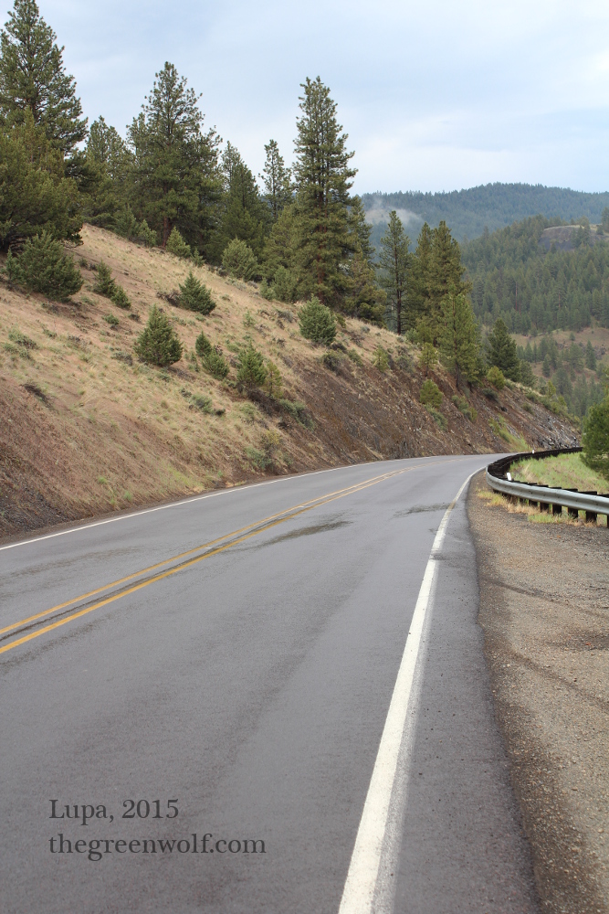
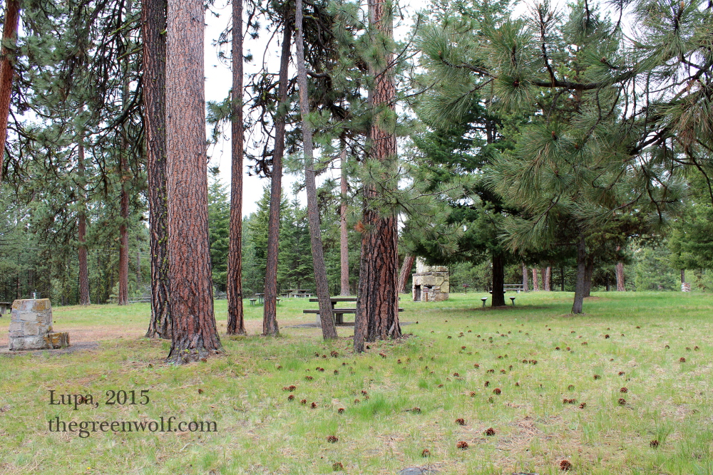 Driving down 395 is like an ecological layer cake. You mostly alternate between second and third growth Ponderosa pine forests, and scrubby sage and juniper deserts, with some farmland and pastures thrown in for good measure. It’s a truly fascinating experience because the shift from one biotope to another can literally happen as you turn a bend in the road. So it was that after miles of wheat and cattle, I found myself at a little campground on Battle Mountain, so named because it was the site of the last conflict between the Bannock tribe (who had retreated here from Idaho) and US troops, with some unwanted spillover onto the local Paiutes. I felt more comfortable here than at Celilo, in no small part because I was the only person in a field full of empty picnic tables.
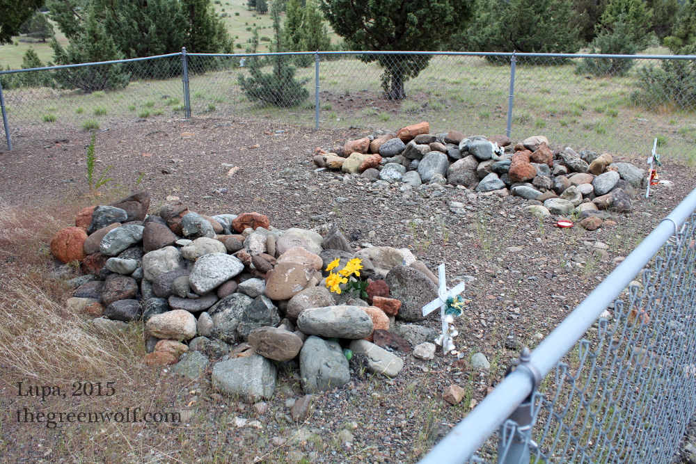
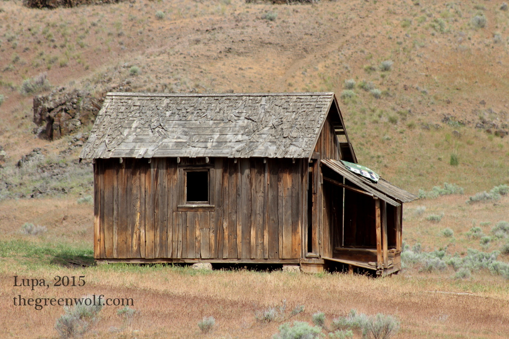
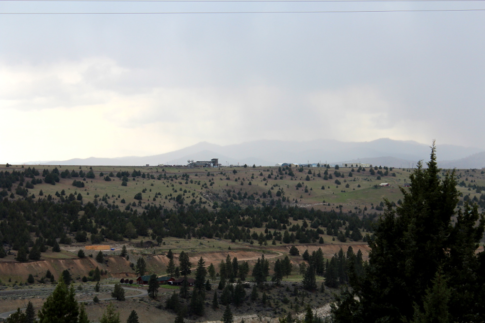
After lunch, I drove on, more than once pulling onto the shoulder to snap photos of falling-down old cabins. I made a brief foray into lovely Ukiah, OR (population 230), then tarried a bit longer in Fox, a near ghost town with a few old buildings, a beautiful 19th century church, and a lovely old cemetery. In fact, cemeteries were something of a theme; once I passed John Day and went into Canyon City, I had to go up and check out the graveyard there, including the old Boot Hill where two horse thieves and a pair of prostitutes, all from the old mining times, were buried apart from everyone else. The main cemetery was rather lovely, with some gorgeous old markers. I had to cut my visit short, though, as I could see rain rolling in across the land.
 I did stop in old Canyon City where the buildings dated from the early 1900s. I took some pictures, then ducked into an antique shop where I bought some agate slabs and gabbed with the owner for a good hour or so; he’s a truly fascinating person who’s lived there for sixty years and has quite a lot of stories to tell. By the time I left it was getting late and the rain was beginning to fall harder, and I wanted to get to Burns at a reasonable time.
But there was just one more stop–as I drove down the highway, I saw a sign for Swick Old Growth Interpretive Trail. How could I pass that up? I’d outrun the rain a bit, so I decided to chance the weather. And it was worth it, for I found about a half mile loop of nicely paved trail with a series of informative signs about the old growth Ponderosa forest I was in. It was absolutely full of birds; I heard woodpeckers and mountain chickadees high up, and got some really good views of western bluebirds in the lower branches.
And now with a hotel room key and food all arranged, I’m relaxing from another lovely day. Tomorrow–Steens, and perhaps more!